Islander’s Summer Homework島民的暑假作業
Islander’s Summer Homework reframes the familiar idea of school holiday homework as an invitation to explore coastline. The project began with research into sands collected from different coastal areas, conducted in collaboration with National Taiwan University’s geology department.
Sand varies in colour and texture according to its geological composition and environmental conditions; for example, darker sands may contain materials associated with shale, mudstone or basalt, while oxidation and other external factors can further alter their appearance.
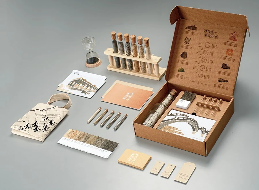
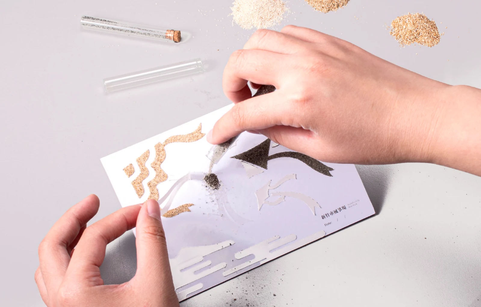
We translated this research into a swatch-based system and exploratory travel toolkit. A map, handbook, colour chips, glass tubes, postcards and a message-in-a-bottle component guide users to visit coastal locations, observe their environments and collect sand themselves.
Rather than presenting coastline only as information, the project turns travel, material collection and sand painting into a self-directed way of learning about the island’s geography and environment.
《島民的暑假作業》把大家熟悉的暑假作業,變成一份探索海岸線的邀請。計畫從研究各地海岸採集的沙開始,並與國立臺灣大學地質系合作。
沙的顏色與質地會隨地質組成與環境條件而不同:例如顏色較深的沙,可能含有頁岩、泥岩或玄武岩相關的成分;氧化等外在因素也會進一步改變它的樣貌。
我們把研究轉化為一套色票系統與探索旅行工具包。地圖、手冊、色卡、玻璃管、明信片與瓶中信,引導使用者親自走訪海岸、觀察環境、採集沙子。
海岸不只被當成資訊呈現;旅行、採集材料與沙畫,成為一種自主認識這座島嶼地理與環境的方法。
A toolkit for the coastline帶著工具組走向海岸
Research into coastal sand becomes a set of maps, samples, postcards and collection tools. The project film introduces how this reworked summer homework connects travel with observation and making.海岸沙樣的研究,轉化成地圖、樣本、明信片與採集工具。影片介紹這份重新設計的暑假作業,如何把旅行、觀察與動手製作串在一起。
Collect, compare, make採集、比較、製作
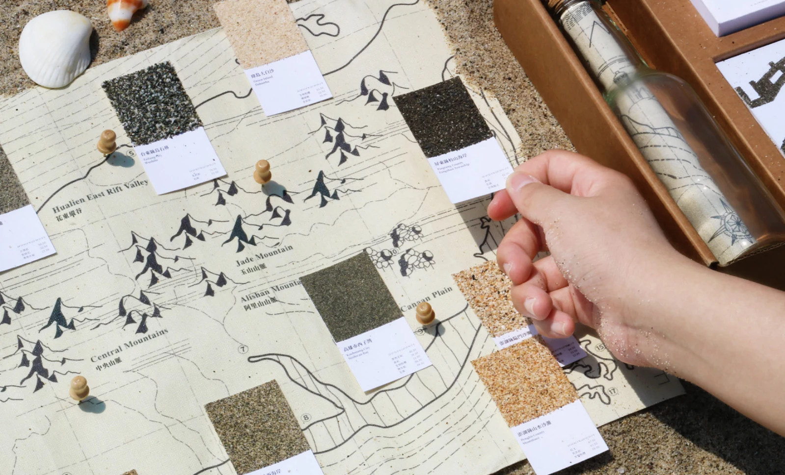
The map places sand samples alongside the coastline they came from. Using the material to make a sand picture gives differences in colour and texture a practical, hands-on role.地圖把沙樣放回它們來自的海岸。再把材料用於沙畫,讓顏色與質地的差異成為可以親手比較、操作的內容。
Postcards from the shore海岸明信片
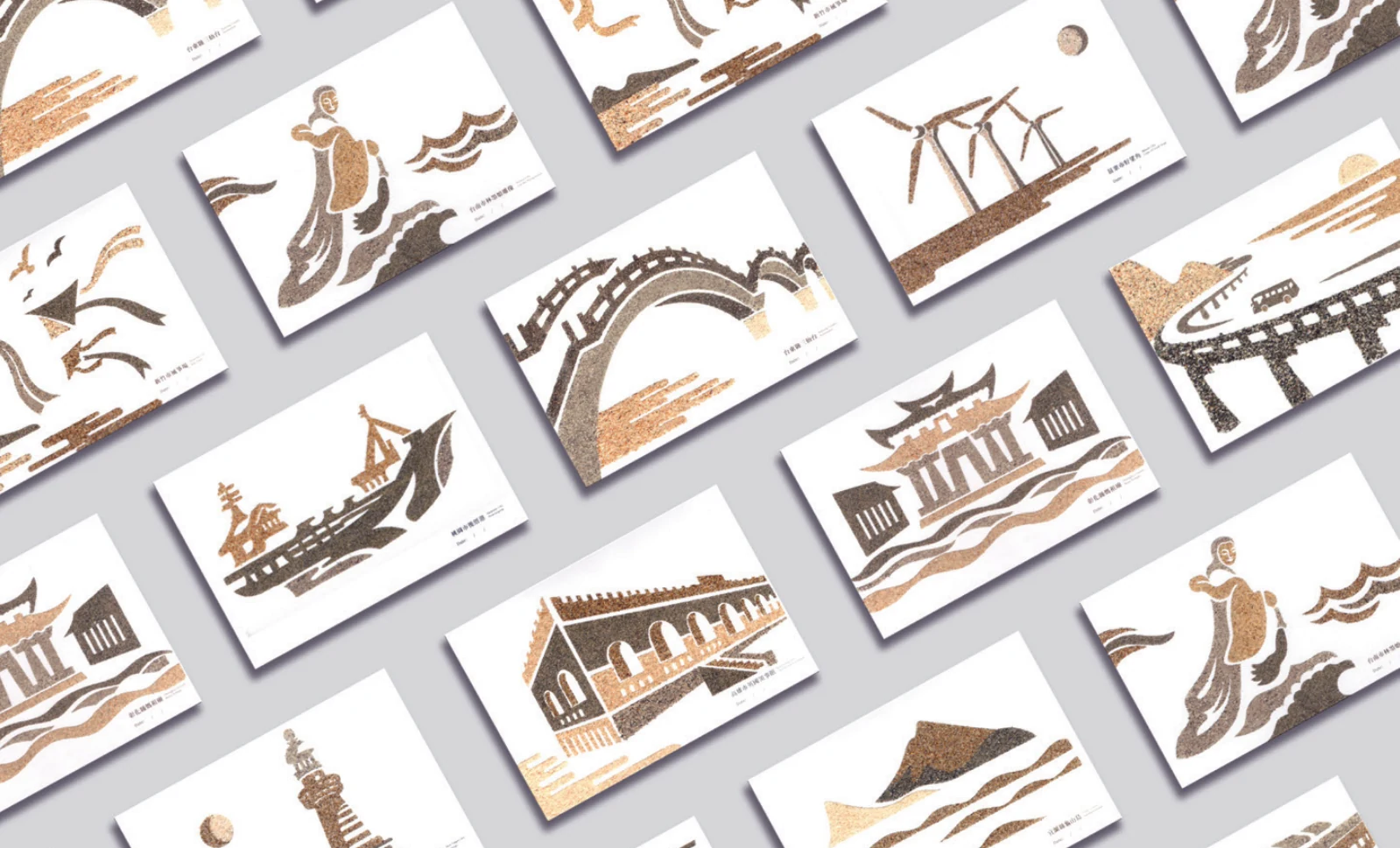
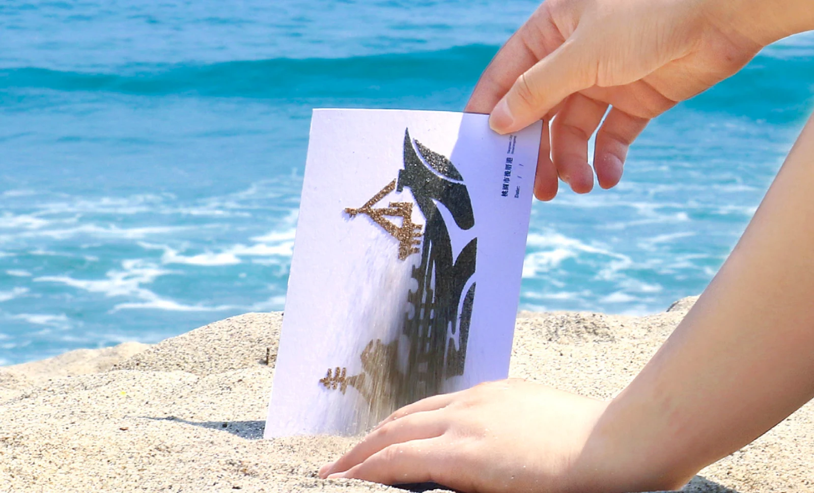
Illustrated landmarks form a set of coastal postcards. Taken back to the shore, the cards connect the printed image with the sand, water and landscape around it.海岸地標的插畫組成一套明信片。把卡片帶回岸邊,印刷圖像便與眼前的沙、水與地景重新連在一起。